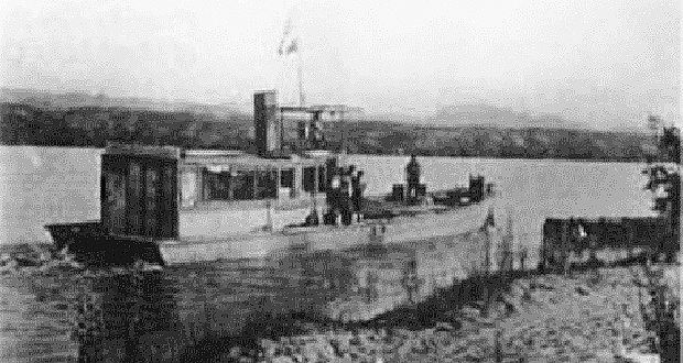
The locations of irrigation channels like this one in Fort Valley helped dictate the route of U.S. Highway 180 in northern Arizona. Travelers driving on U.S....
Get 24/7 political news coverage and access to events honoring top political professionals

 Free Newsletter